Fitness Trails
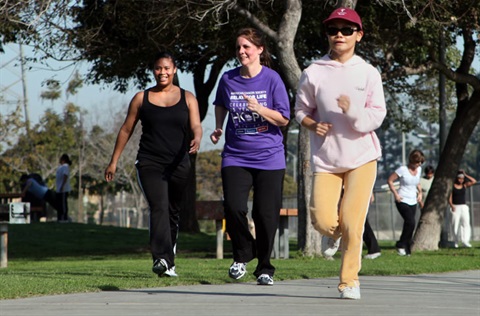
Looking for a place to walk or track your steps? Many Lakewood parks include fitness routes with measured distances, so you can easily plan a walk, jog or workout.
Each route typically follows the park perimeter or a designated path. Below you’ll find the distance for each route and a link to a map for that park.
Route maps for each park are available below and have been updated to improve accessibility.
If you are visiting a park, printed route maps are available upon request at parks with on-site staff. See each park listing below for details.
If you need assistance accessing a map or would like this information in an alternative format, please contact the ADA Coordinator at ADACoordinator@lakewoodca.gov or 562-866-9771.
Trails and Routes
Biscailuz Park
The fitness route measures about one-third mile and follows the park perimeter. A printed route map is available from park staff upon request.
View Biscailuz Park route map(PDF, 3MB)
Bloomfield Park
The fitness route measures one-half mile. A printed route map is available from park staff upon request.
View Bloomfield Park route map(PDF, 3MB)
Bolivar Park
The fitness route measures one-half mile and follows the sidewalk around the park perimeter. A printed route map is available from park staff upon request.
View Bolivar Park route map(PDF, 3MB)
Boyar Park
The fitness route measures one-half mile and uses the park perimeter on the south side of Del Amo Boulevard. A printed route map is available from park staff upon request.
View Boyar Park route map(PDF, 3MB)
Del Valle Park
The sidewalk around the park perimeter measures five-eighths of a mile. Two laps equal 1.25 miles. A printed route map is available from park staff upon request.
View Del Valle Park route map(PDF, 3MB)
Mayfair Park
The fitness route measures one-half mile and uses the south portion of the park. A printed route map is available from park staff upon request.
View Mayfair Park route map(PDF, 3MB)
Palms Park
The fitness loop measures two-thirds of a mile. A printed route map is available from park staff upon request.
View Palms Park route map(PDF, 3MB)
San Martin Park
The sidewalk around the park perimeter measures just over one-half mile. Two laps equal just over 1 mile.
View San Martin Park route map(PDF, 3MB)
Rynerson Park
The fitness loop measures 1 mile and follows an interior route that winds through the park. The park also connects to the San Gabriel River Trail.
View Rynerson Park route map(PDF, 2MB)
West San Gabriel River Parkway Nature Trail
The Nature Trail features native plants and wildlife, offering a glimpse of what the Lakewood area once looked like.
The trail is primarily a decomposed granite pathway, with paved sections at entry points and where segments connect.
The trail runs generally north–south along the San Gabriel River corridor. It begins at Carson Street at Lakewood’s southern border and continues north to Monte Verde Park. From there, the trail connects east to follow the riverbed, continuing north to Del Amo Boulevard. The final segment extends approximately one-half mile from Mae Boyar Park, turning west and ending at Candlewood Street.
The trail measures approximately 3 miles round trip between Del Amo Boulevard and Carson Street.
Public restrooms are available at Mae Boyar Park.
Trail access points from Palo Verde Avenue:
- Carson Street (south end): Street parking only.
- Monte Verde Park (at Centralia Street, near Turnergrove Drive and Shadeway Road): Park and enter at this trailhead.
- Del Amo Boulevard (north end): Park and enter at Mae Boyar Park, across from George Nye Library.
- Candlewood Street: Park and enter at Knoxville Avenue.
Bike trails
For information on bike and other trails in the area, visit the LA Bike Paths website.